Shadowmark Maps › LiDAR sites
England's hillforts, barrows and lost villages in LiDAR
36 well-known places you can visit, each shown in the Environment Agency's 1 m LiDAR, with facts from its official Historic England list entry and how to visit. All are Scheduled Monuments: look, don't detect or dig.
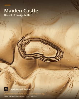 Maiden CastleDorset · Iron Age hillfort
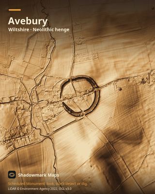 AveburyWiltshire · Neolithic henge
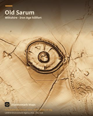 Old SarumWiltshire · Iron Age hillfort
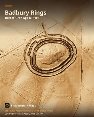 Badbury RingsDorset · Iron Age hillfort
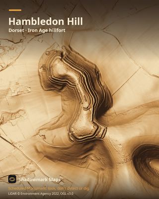 Hambledon HillDorset · Iron Age hillfort
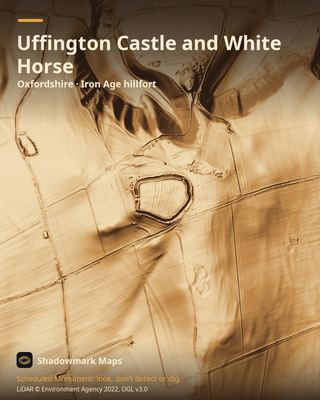 Uffington Castle and White HorseOxfordshire · Iron Age hillfort
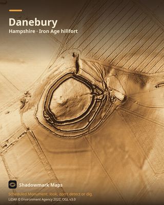 DaneburyHampshire · Iron Age hillfort
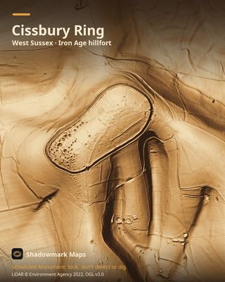 Cissbury RingWest Sussex · Iron Age hillfort
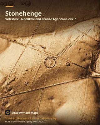 StonehengeWiltshire · Neolithic and Bronze Age stone circle
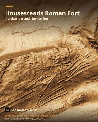 Housesteads Roman FortNorthumberland · Roman fort
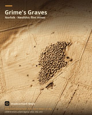 Grime's GravesNorfolk · Neolithic flint mines
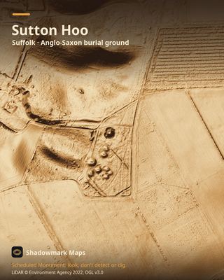 Sutton HooSuffolk · Anglo-Saxon burial ground
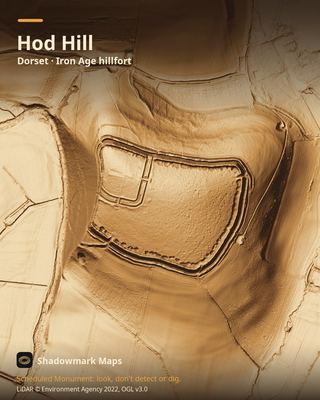 Hod HillDorset · Iron Age hillfort
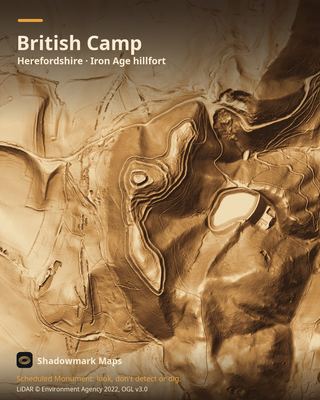 British CampHerefordshire · Iron Age hillfort
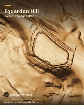 Eggardon HillDorset · Iron Age hillfort
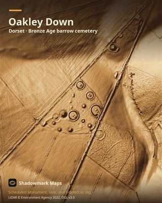 Oakley DownDorset · Bronze Age barrow cemetery
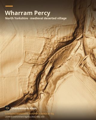 Wharram PercyNorth Yorkshire · medieval deserted village
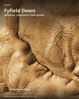 Fyfield DownWiltshire · prehistoric field system
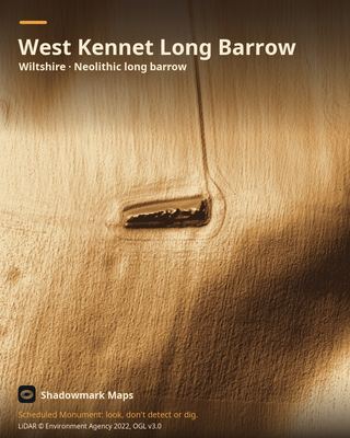 West Kennet Long BarrowWiltshire · Neolithic long barrow
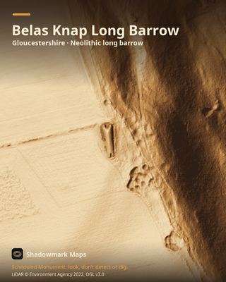 Belas Knap Long BarrowGloucestershire · Neolithic long barrow
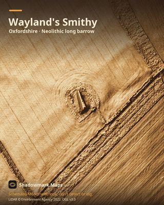 Wayland's SmithyOxfordshire · Neolithic long barrow
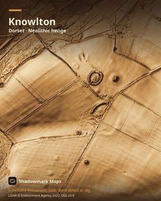 KnowltonDorset · Neolithic henge
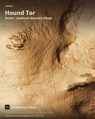 Hound TorDevon · medieval deserted village
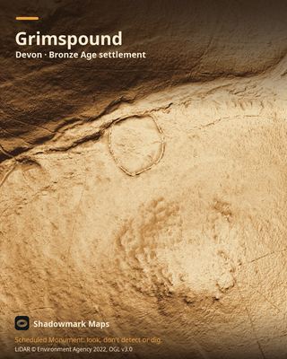 GrimspoundDevon · Bronze Age settlement
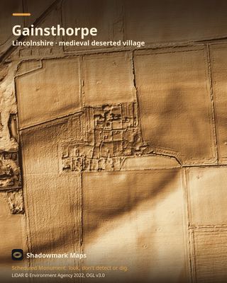 GainsthorpeLincolnshire · medieval deserted village
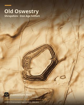 Old OswestryShropshire · Iron Age hillfort
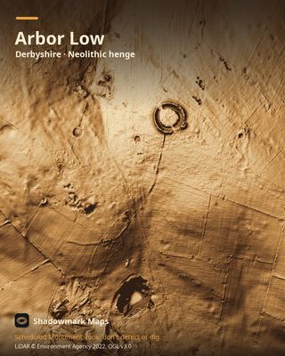 Arbor LowDerbyshire · Neolithic henge
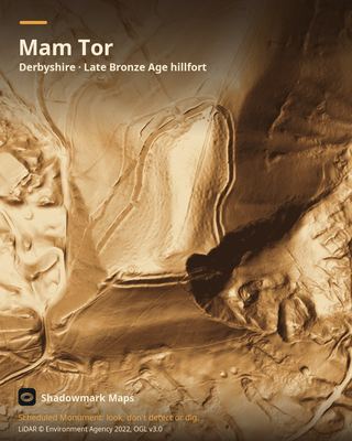 Mam TorDerbyshire · Late Bronze Age hillfort
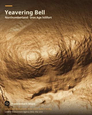 Yeavering BellNorthumberland · Iron Age hillfort
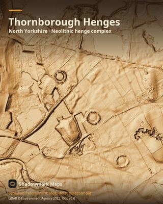 Thornborough HengesNorth Yorkshire · Neolithic henge complex
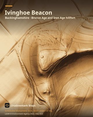 Ivinghoe BeaconBuckinghamshire · Bronze Age and Iron Age hillfort
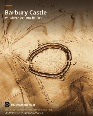 Barbury CastleWiltshire · Iron Age hillfort
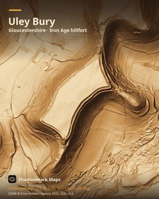 Uley BuryGloucestershire · Iron Age hillfort
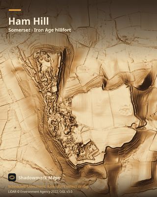 Ham HillSomerset · Iron Age hillfort
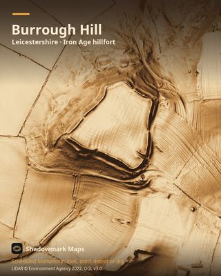 Burrough HillLeicestershire · Iron Age hillfort
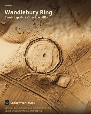 Wandlebury RingCambridgeshire · Iron Age hillfort
Get an email when it launches
Shadowmark Maps is coming to the App Store and Google Play. Leave your email and we'll tell you when it's out, with the links to download it.