Shadowmark Maps › Stunning LiDAR sites
Stunning LiDAR sites
Hillforts, a great henge, flint mines and a lost village, as Shadowmark Pro shows them. Each picture is one of the Pro views, computed from terrain data with the trees and buildings stripped away: 1 m LiDAR in England and at Serpent Mound, and a coarser (about 3 m) USGS model at Newark. Every one of these places is a Pro preview in the app, so once the app is out, you can fly in and explore it on your phone.
Get an email when the app launches
Maiden Castle Dorset
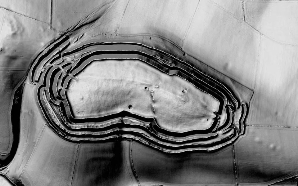
Historic England list entry. A Scheduled Monument: look, but don't detect or dig. More about this site.
Caesar's Camp, Wimbledon Common London
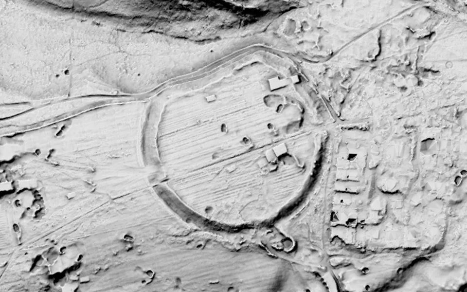
Historic England list entry. A Scheduled Monument: look, but don't detect or dig.
Hambledon Hill Dorset
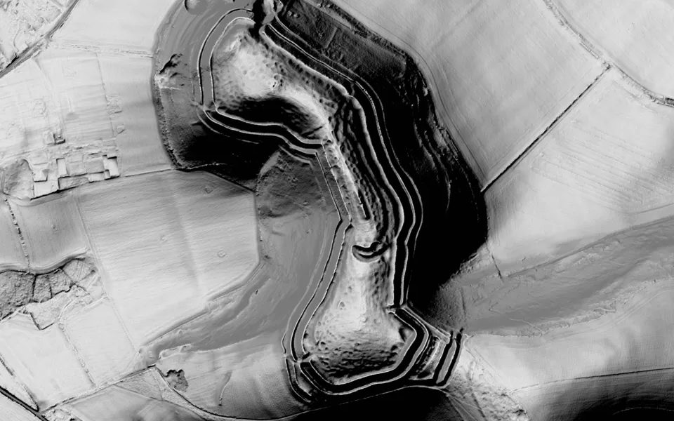
Historic England list entry. A Scheduled Monument: look, but don't detect or dig. More about this site.
Hod Hill Dorset
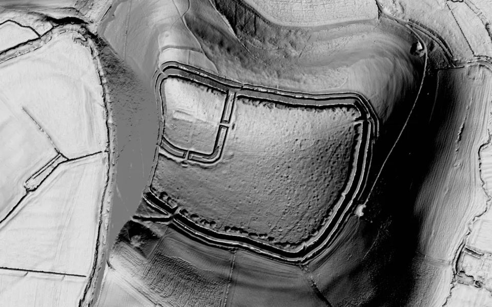
Historic England list entry. A Scheduled Monument: look, but don't detect or dig. More about this site.
Old Sarum Wiltshire
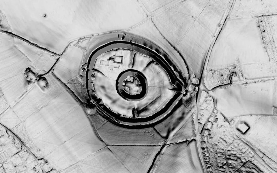
Historic England list entry. A Scheduled Monument: look, but don't detect or dig. More about this site.
Avebury Wiltshire
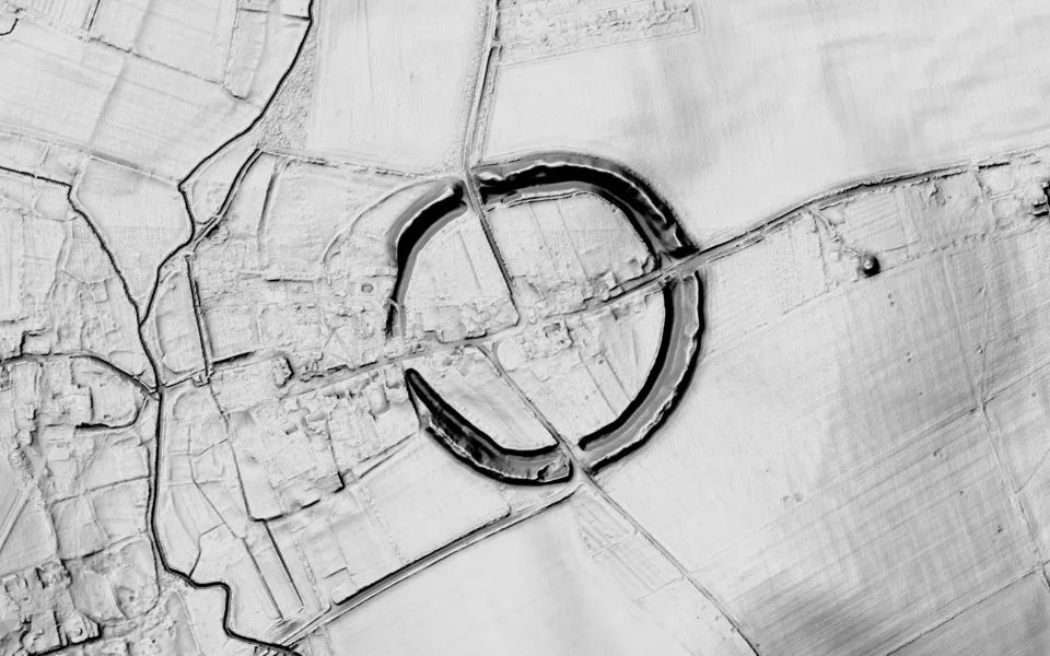
Historic England list entry. A Scheduled Monument: look, but don't detect or dig. More about this site.
Danebury Hampshire
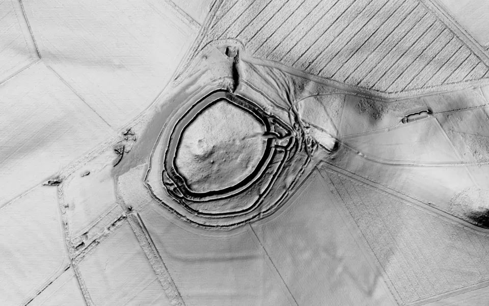
Historic England list entry. A Scheduled Monument: look, but don't detect or dig. More about this site.
Cissbury Ring West Sussex
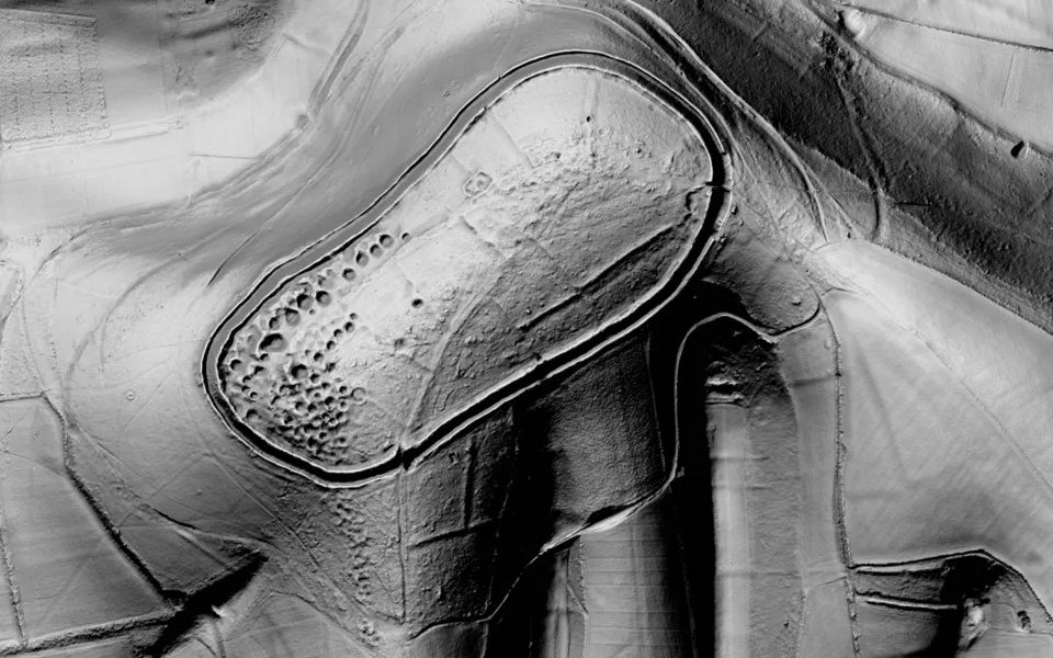
Historic England list entry. A Scheduled Monument: look, but don't detect or dig. More about this site.
Grimes Graves Norfolk
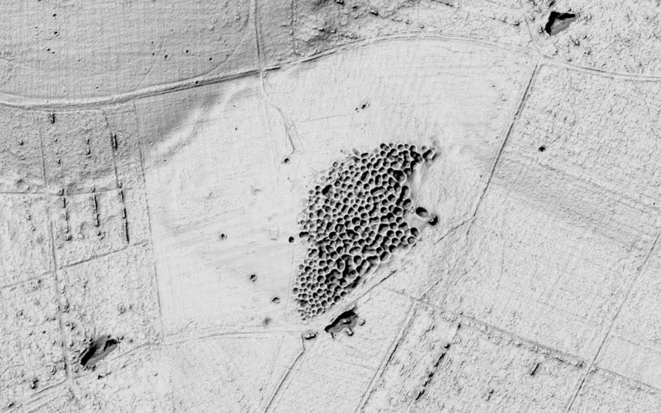
Historic England list entry. A Scheduled Monument: look, but don't detect or dig. More about this site.
Wharram Percy North Yorkshire
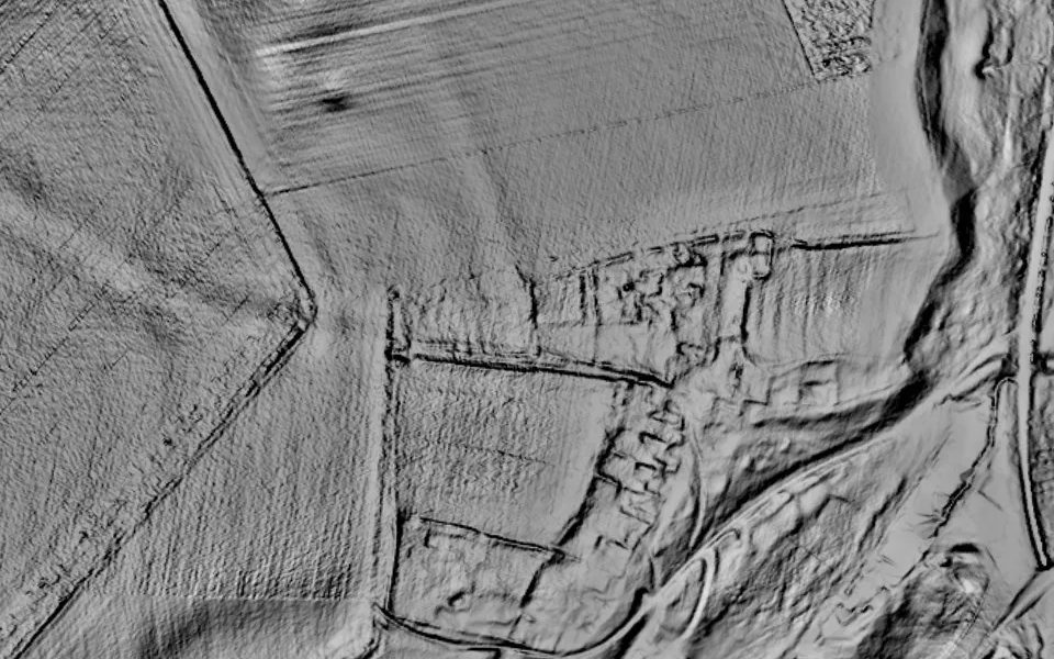
Historic England list entry. A Scheduled Monument: look, but don't detect or dig. More about this site.
In the United States
Serpent Mound Ohio, USA
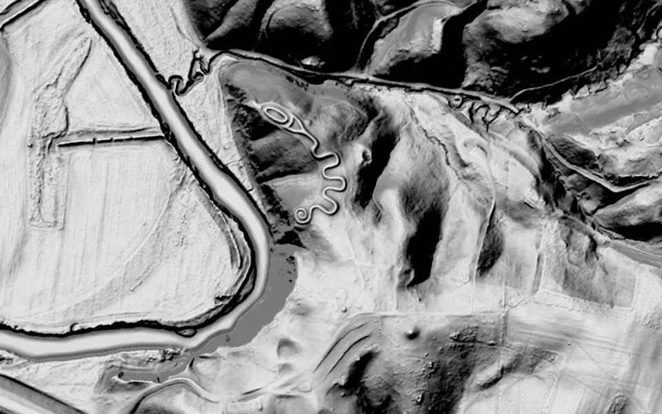
A protected archaeological site: visit, but don't dig or detect.
Newark Earthworks Ohio, USA
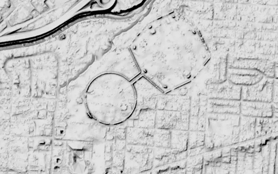
A protected archaeological site: visit, but don't dig or detect.
LiDAR in England: Shadowmark's views of the Environment Agency's LIDAR Composite DTM 1 m, © Environment Agency copyright and/or database right 2022. All rights reserved. Used under the Open Government Licence v3.0. In the United States: U.S. Geological Survey 3D Elevation Program, public domain. New to reading LiDAR? Start with how to read LiDAR maps.
Get an email when it launches
Shadowmark Maps is coming to the App Store and Google Play. Leave your email and we'll tell you when it's out, with the links to download it.